
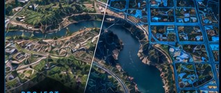
Process
- Orthomosaic & imagery processing
- Aerial & satellite sources
- Raster & vector workflows
Aerial and satellite imagery isn't just a picture — it's a powerful data source. We turn it into meaningful GIS data and insights you can act on.
We process and analyze imagery to extract the features that matter — then integrate them with your existing GIS and databases so they're immediately useful.
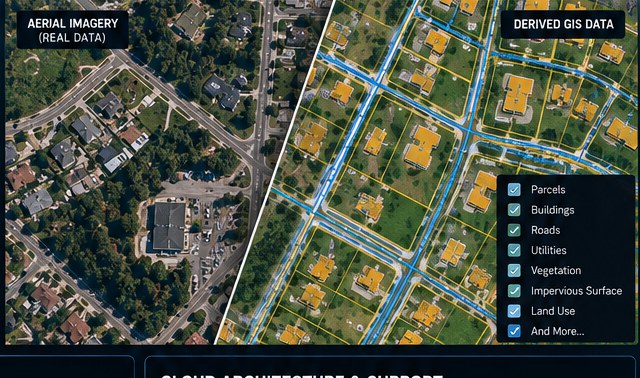
Practical imagery workflows, built around the data and tools you already have.