
Property & Land Research
Bring an aerial perspective to preliminary property reviews, land evaluation, and acquisition screening.
Make better-informed real estate decisions with aerial imagery and geospatial context. Explore our growing imagery coverage—or talk with us about custom data for your properties, target markets, and research workflows.

A property doesn’t exist in isolation. Imagery can help your team understand the land around an asset, review access and nearby development, and add geographic context to early-stage research.
Bring an aerial perspective to preliminary property reviews, land evaluation, and acquisition screening.
Compare locations and surrounding conditions as part of your broader site-selection process.
Review surrounding land use, access patterns, and visible development context to guide the next questions to investigate.
Use the coverage view to see where imagery is available, in progress, or planned. Coverage and resolution vary by area and dataset, so start with the locations that matter to your work.
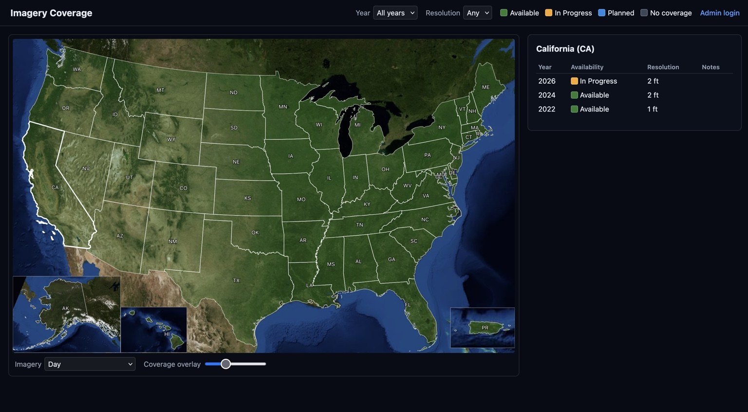
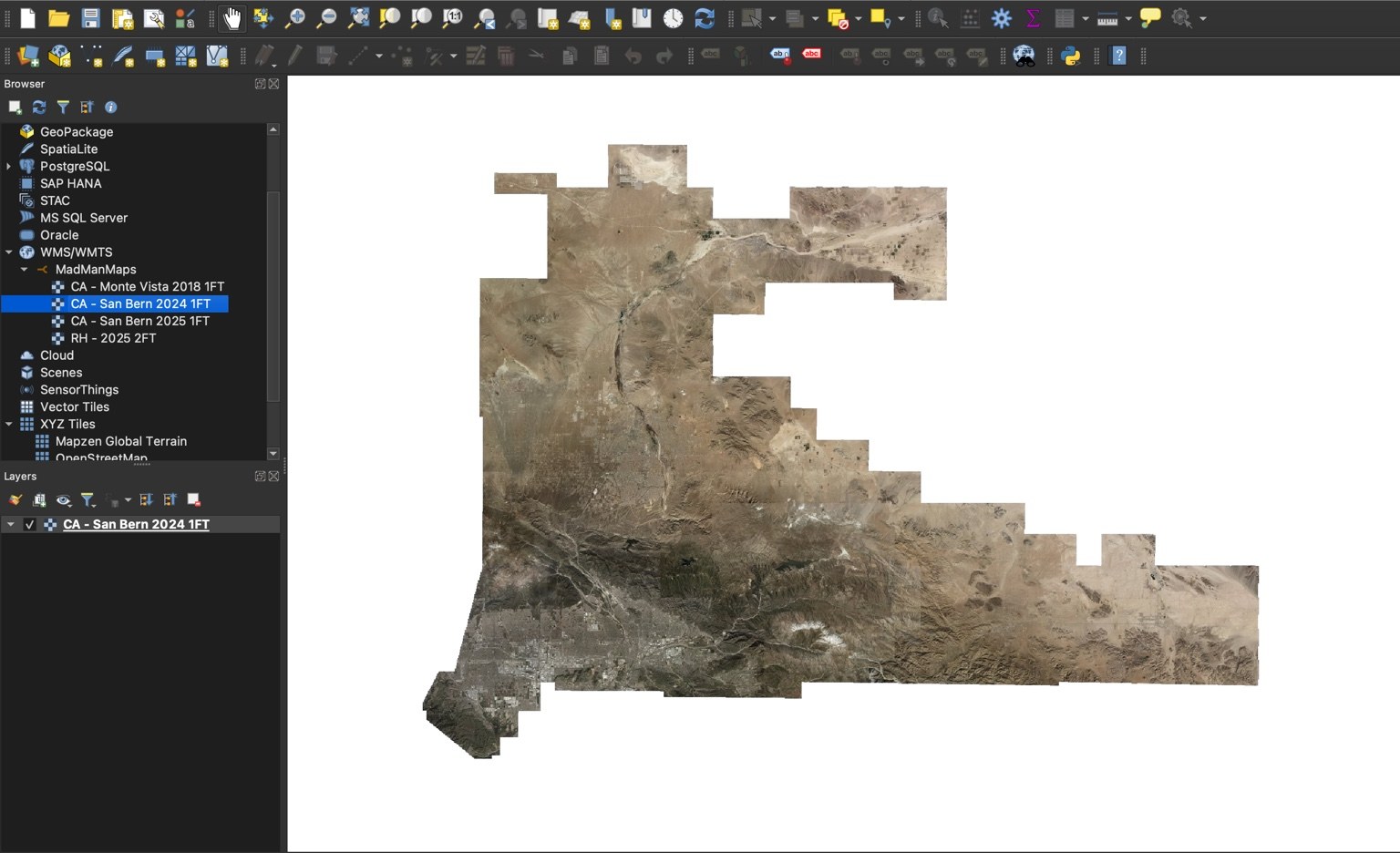
Mad Man Maps is built around practical geospatial use—not just a picture on a screen. We can discuss how imagery and location data may support your existing GIS tools, research process, or internal applications.
Tell us which areas, properties, resolutions, or data outputs you’re interested in. We’ll discuss the available options and whether a custom geospatial solution is a fit.